Mapbox Studio
Custom interactive map design and integration made easy.
What is Mapbox Studio?
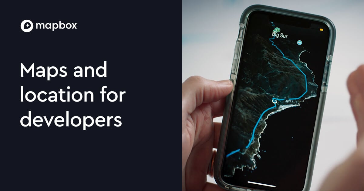
Try Mapbox StudioMapbox Studio helps you design and customize interactive map styles that match your brand and emphasize the map features you need. You can preview your style in Studio, then use it in mobile and travel experiences. When connectivity is limited, Studio-style maps can pair with offline map usage for continued exploration.
What is Mapbox Studio used for?
Mapbox Studio is used to design custom interactive map styles, including the look and behavior of your map, and preview the result before using it in an app or experience.
Can you customize map styles in Mapbox Studio without writing code?
Yes. Mapbox Studio is built to let you shape the look and feel of your map through Studio, with preview so you can iterate on your style without hand-coding map styles.
How can Mapbox Studio be used for travel experiences when connectivity is limited?
Mapbox supports taking maps offline, so users can keep exploring when internet coverage is limited. Studio-style customization can be paired with offline map downloads for travel and destination experiences.
How do I preview and browse styles while I’m building?
You can preview your map style inside Studio, and you can also explore a style gallery with curated examples while you build.
What kinds of destination-focused content can Mapbox Studio help you highlight?
Mapbox Studio supports destination design with elements like custom markers and points of interest, helping travelers discover and explore places visually.
How is Mapbox pricing structured if I want to use Mapbox services alongside Studio?
Mapbox pricing uses flexible pay-as-you-go options with meaningful free tiers for most products, and you can also get volume discounts as usage grows or additional discounts when you commit annually. Many services are metered by monthly usage such as active users, trips, requests, or loads, depending on the product.